meta data for this page
grp1 - TeamNullPointerException
- Oskar Sonninen – Student Number – LUT
- Mikko Kaistinen – Student Number – LUT
- Anssi Salo – Student Number – LUT
Idea
Idea is to creat (very) simple application that can mark your position on a map using GPS. In future you could sync other peoples position to your phone (Not implementing in this session).
- Main idea; simple gps tracker which gives users position on the map.
- Coding language Python
- Should work on LUT campus area
- Gives gps data to the workers on 8th building phase construction site
Workflow
15.00-18.00: Making development tools to work. Configuring development tools and phone to accept python.
18.00-00.00: Coding basic GPS functions.
00.00-03.00: uploading image file
03.00-08.00: zzZZzzz
08.00-10.30: implementing drawing primitives (dropped)
10.30-13.59: Implementing location warning and tweaking GPS coordinate conversion 13.59-14.00: Wrinting wiki and slides ;)
Features
Priorities: must be implemented (1), implemented if time (2)
| Feature | Priority | Status |
|---|---|---|
| GUI | 1 | x |
| GPS coordinates | 1 | x |
| Map | 1 | x |
| Converting GPS coordinates to metric format | 1 | working on it |
| Warning of closing boss | 1 | x |
| Making a marker to map based on coordinates | 1 | dropped |
| User triggered manual refresh | 2 | dropped |
| Reading other devices GPS coordinates | 2 | will not be implemented at on codecamp |
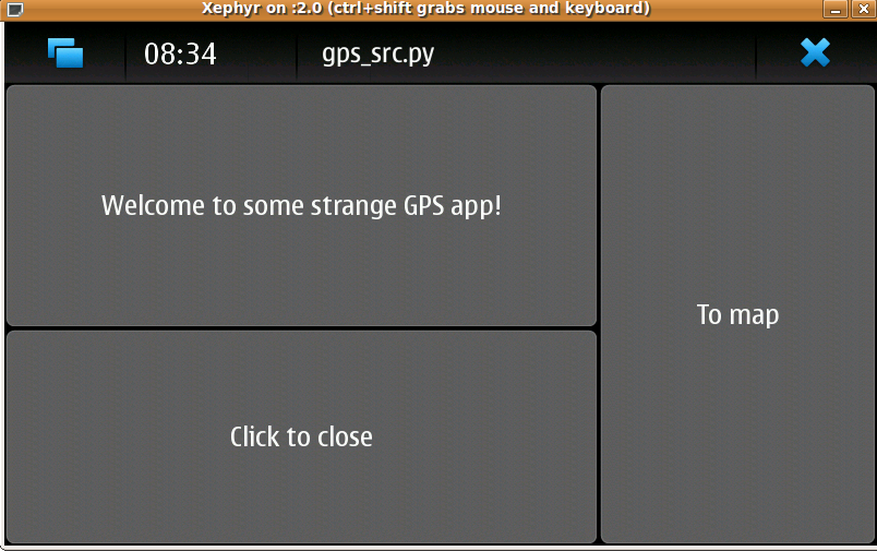
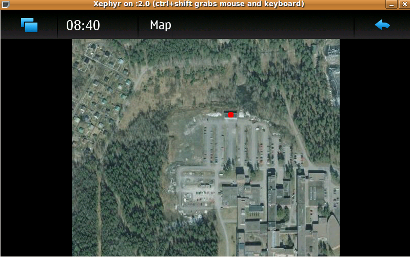
Screenshots
Source code
Conclusion
● Maemo didn't have good functions to draw images over images
● Layout was quite tricky (still not what we wanted)
● GPS was hard to debug because connetions to satellites can't be made inside
● Scratchbox wasn't all too useful

